The objective of this project was to locate the mixing zones in the coastal environment on the north shore of the lower estuary, which are caused by the friction of the waters on the bottom and measure the effects of these mixing zones on the modification of the water bodies and the productivity potential of adjacent areas, using phytoplankton biomass and size structure as an indicator of productivity. Temperature and salinity profiles were measured using CTD and water sampling was done with a Niskin bottle to try to detect the signature of the mixture and to determine if nutrient salts and/or productivity are greater in adjacent areas.
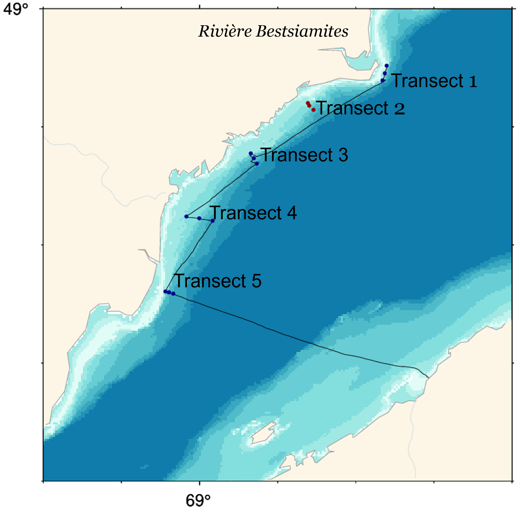
Sampling took place in 3 outings from 3 stations organized in a 100 NN transect which were carried out at the start of the season (June 30), mid-season (August 16) and end of the season (October 9). The transects were each composed of three stations ranging from 10 m depth near the coast to 50 and 75 m, depending on the transect, moving away from the coast. Samples were collected for nutrients and phytoplankton biomass (> 0.7 µm and > 5 µm) analysis at depths of 1, 10, 25 and 50 m. The optical transparency of water was also measured by Secchi disk.
The first file provided “donnees_profils_data” is a summary of the CTD profiles of every station. The second file “donnees_discretes_discret_data” contains the results of the water sample analysis.
This project was funded by DFO Coastal Environmental Baseline Program under Canada’s Oceans Protection Plan. This initiative aims to acquire environmental baseline data contributing to the characterization of important coastal areas and to support evidence-based assessments and management decisions for preserving marine ecosystems.

